Download to read offline
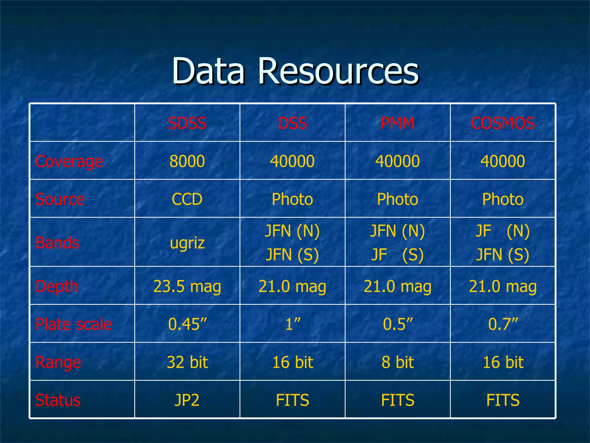
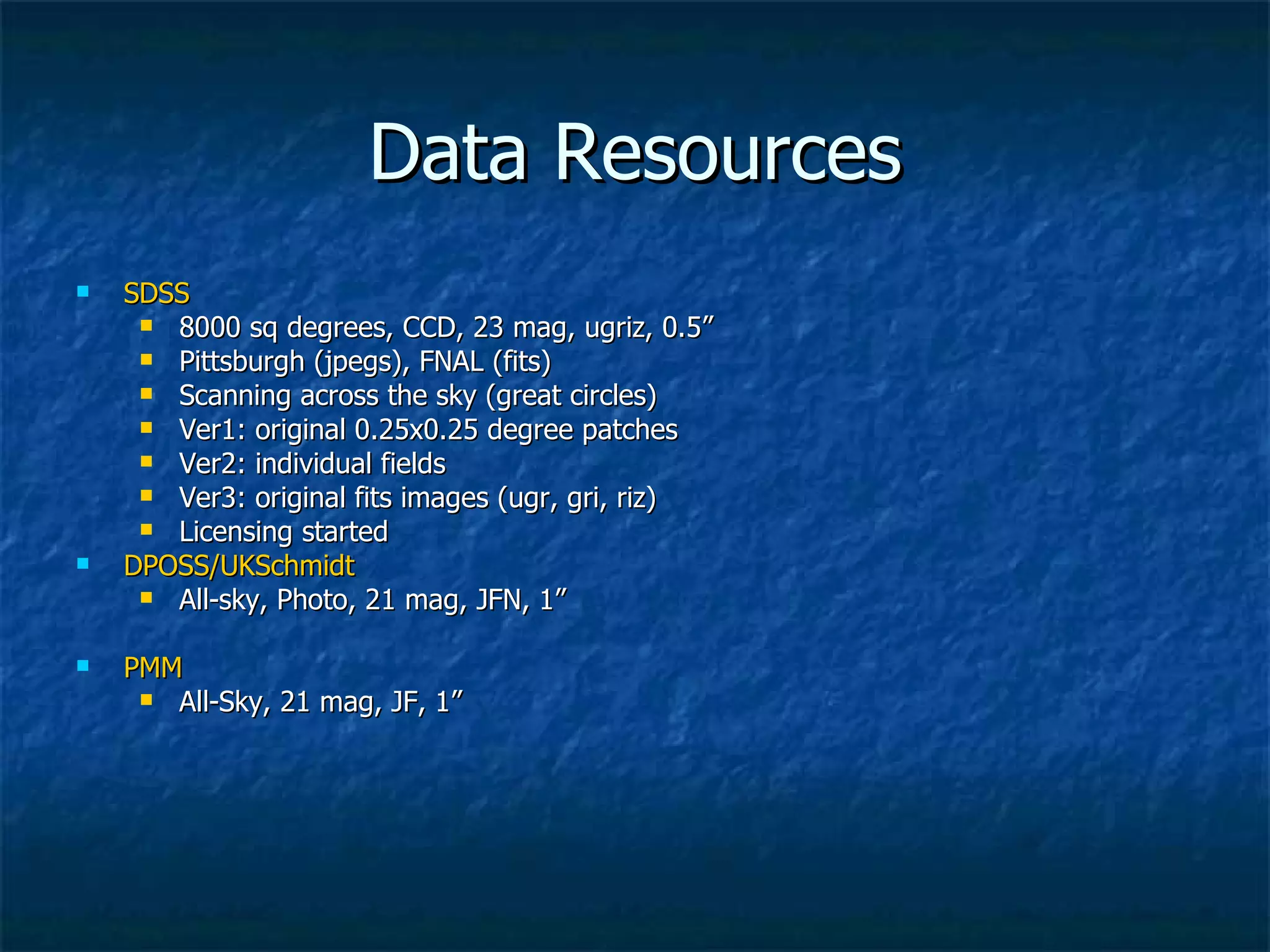
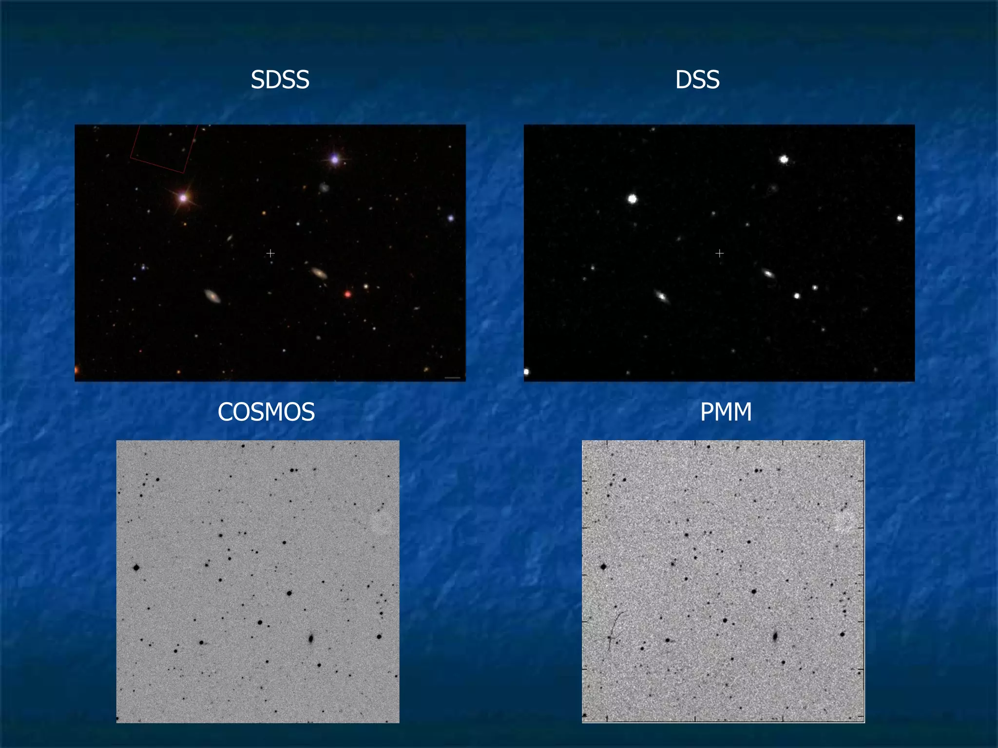
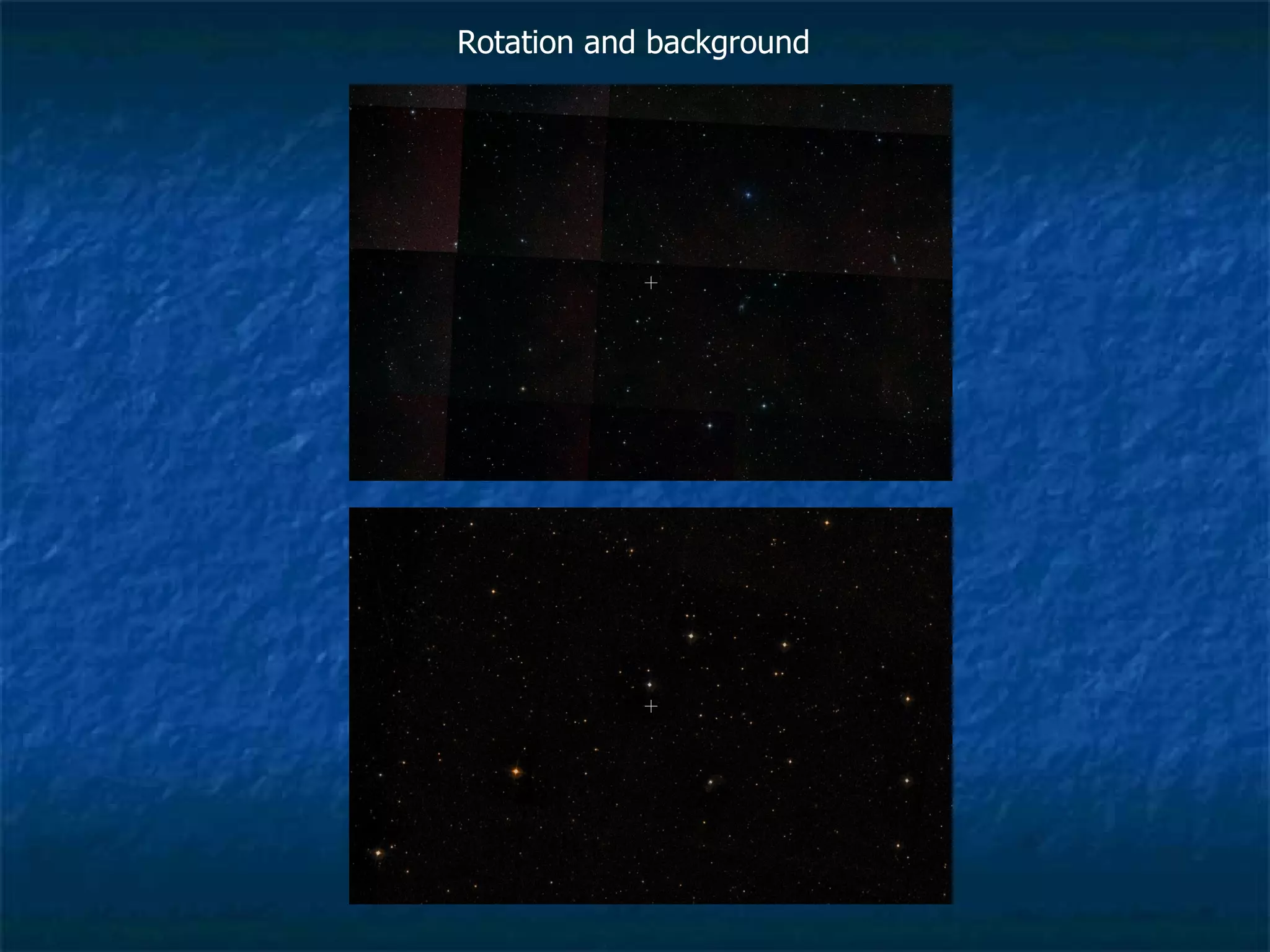


Google Sky aims to provide an online sky map with data from various surveys like SDSS and DSS. It has ingested over 200 square degrees of SDSS data so far and is working to optimize the processing pipeline to ingest more data. Key challenges include balancing image quality, processing time, and data storage requirements at scale.


