Download as PDF, PPTX

![What is SDI?
“[Spatial Data Infrastructure]
provides a basis for spatial data
discovery, evaluation, and
application for users and providers
within all levels of government, the
commercial sector, the non-profit
sector, academia and by citizens in
general.”
3
Geonetwork for Spatial Data](https://image.slidesharecdn.com/geonetworkbynizam-170313070954/75/Geonetwork-for-Spatial-Data-4-2048.jpg)


![What is SDI?
“[Spatial Data Infrastructure]
provides a basis for spatial data
discovery, evaluation, and
application for users and providers
within all levels of government, the
commercial sector, the non-profit
sector, academia and by citizens in
general.”
3
Geonetwork for Spatial Data](https://crownmelresort.com/image.slidesharecdn.com/geonetworkbynizam-170313070954/75/Geonetwork-for-Spatial-Data-4-2048.jpg)


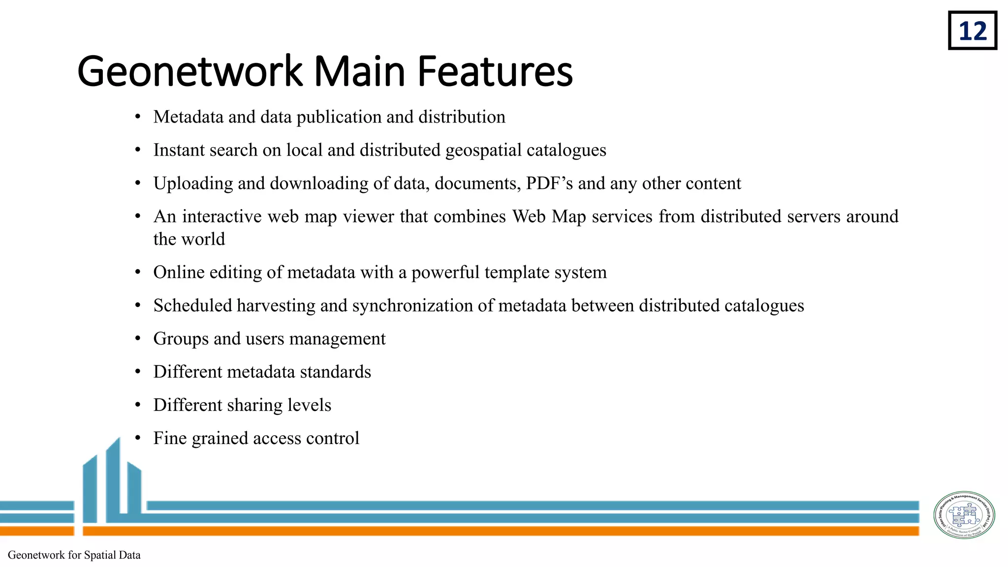
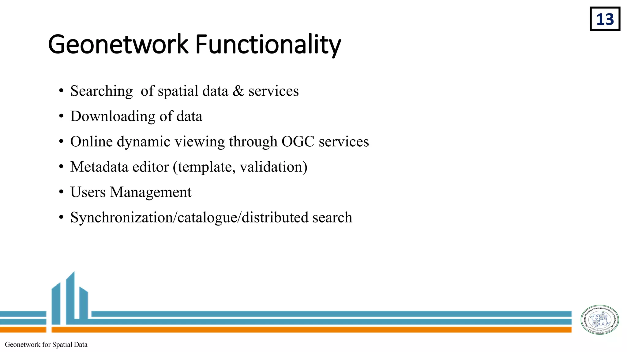
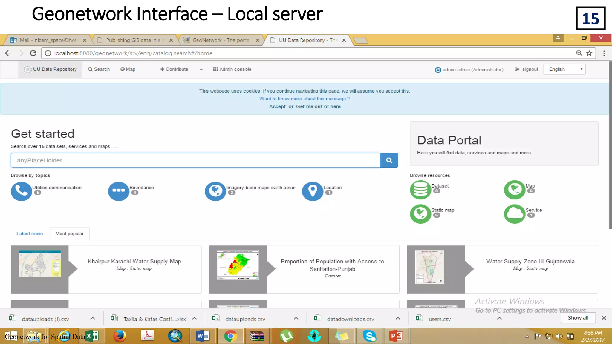
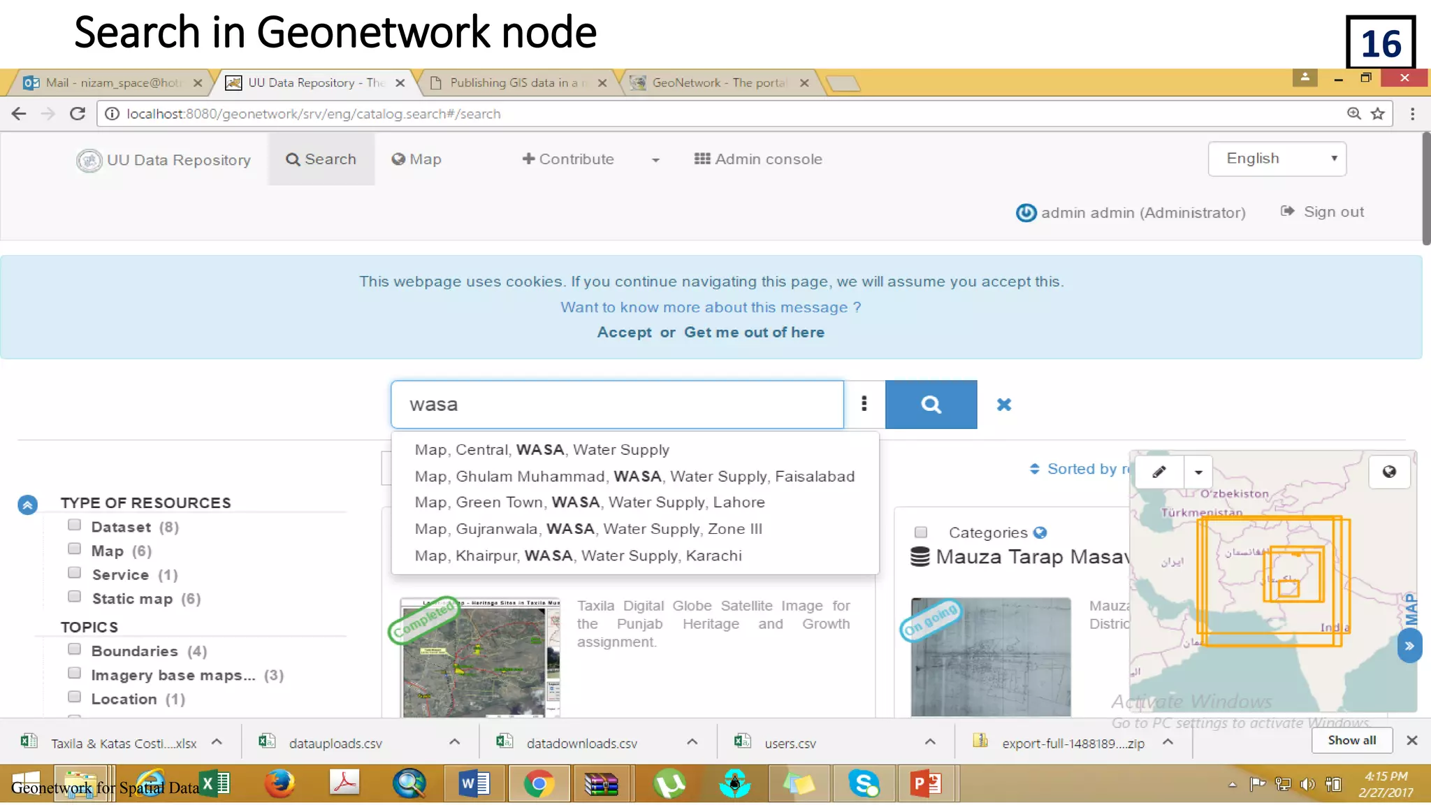
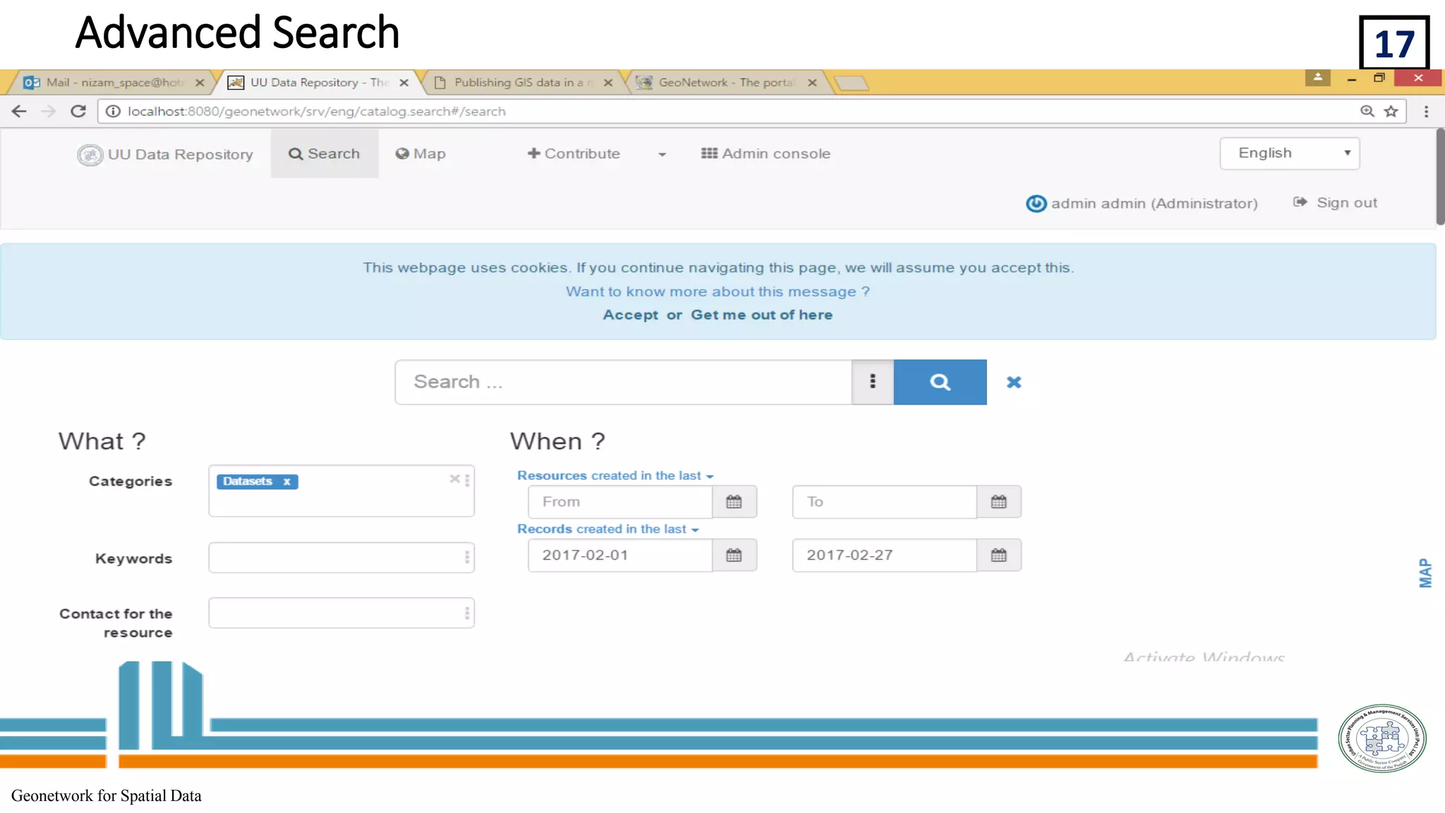
Geonetwork is an open source spatial data management system that allows for the discovery, access, and sharing of geospatial data and services. It implements international metadata standards to provide standardized descriptions of data. This increases collaboration between organizations by reducing duplication and improving data consistency, quality and accessibility. Geonetwork provides features like metadata editing, catalog search, map viewing and data downloading to help users find and utilize spatial information.